
TL;DR

Get the latest gadgets delivered free with Prime
- Fast, free delivery on millions of items
- Prime Video, Amazon Music and more included
- Member-only deals all year
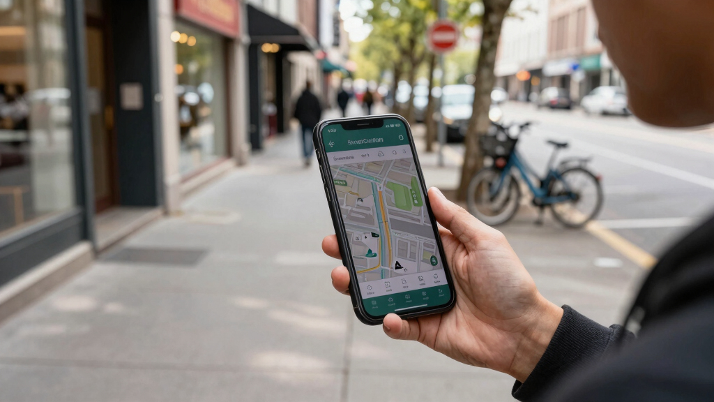
StreetComplete is a mobile app that allows users to contribute small updates to OpenStreetMap through simple quests. It aims to improve map data accuracy by encouraging widespread, easy participation. The development signals a shift toward more accessible crowdsourcing for map editing.
StreetComplete, a mobile app designed to facilitate user contributions to OpenStreetMap, has introduced new features that make it easier for volunteers to fix and update map data through simple, targeted questions. This development aims to expand participation and improve data accuracy across the platform, making crowdsourced mapping more accessible than ever.
The app, which launched in 2018, now offers enhanced quest types that guide users to verify streets, points of interest, and other map features with minimal effort. According to the developers, these ‘tiny quests’ are designed to lower the barrier to entry for casual contributors. The latest updates, rolled out in early 2024, include a more intuitive interface and expanded categories of questions, encouraging broader community involvement. OpenStreetMap, a collaborative project that relies on volunteer edits, benefits from this approach by increasing the volume and quality of data contributed by non-expert users. The app’s gamified system rewards users with points and badges, fostering ongoing engagement and data validation efforts.Experts note that this approach could significantly enhance the accuracy of map data in underserved regions where professional mapping is limited. The developers emphasize that StreetComplete aims to complement existing editing tools by focusing on small, verifiable updates that can be quickly completed on mobile devices. The project is supported by the OpenStreetMap Foundation, which promotes open data sharing and community-driven mapping initiatives. While the app’s success depends on user participation, early indicators show increased downloads and active contributions since the latest update. The developers plan to introduce further features, including offline mode and expanded quest types, in upcoming releases.How StreetComplete’s Quest System Boosts Map Data Quality
This development matters because it addresses key challenges in crowdsourced mapping: engaging a broad user base and ensuring data accuracy. By simplifying the contribution process, StreetComplete lowers the barrier for casual users to participate in improving OpenStreetMap. As a result, map data can be updated more frequently and with greater detail, especially in regions lacking professional mapping services. Enhanced data accuracy benefits various sectors, including navigation, emergency response, urban planning, and humanitarian aid. The app’s gamification encourages sustained user engagement, which can lead to a more comprehensive and reliable map database over time.
As an affiliate, we earn on qualifying purchases.
OpenStreetMap’s Growing Reliance on Community Contributions
OpenStreetMap (OSM) has grown into a vital resource for global mapping, relying heavily on volunteers worldwide to add and update geographic data. Since its founding in 2004, the platform has accumulated millions of contributors, but maintaining data quality remains a challenge, especially in less-developed regions. Traditional editing tools can be complex, discouraging casual users from participating. In recent years, efforts have increased to develop more accessible editing methods, including mobile apps and gamified platforms. StreetComplete, launched in 2018, emerged as a popular tool that simplifies contributions through small, manageable quests. Its recent updates reflect ongoing efforts to expand user engagement and improve data accuracy, aligning with the broader goal of making crowdsourced mapping more inclusive and reliable.
“Our goal is to make contributing to OpenStreetMap as simple and engaging as possible, so anyone can help improve the map with just a few taps.”
— Alex Loth, developer of StreetComplete
As an affiliate, we earn on qualifying purchases.
Uncertainties About Long-Term Impact and User Engagement
It is not yet clear how sustained user engagement will be over the long term, or how effectively the app’s small quests will address data gaps in highly remote or complex areas. Additionally, the quality of contributions, while generally verified by the app’s design, may vary depending on user expertise. Further data is needed to evaluate the actual improvements in map accuracy attributable to StreetComplete’s latest updates.
As an affiliate, we earn on qualifying purchases.
Upcoming Features and Broader Adoption Strategies
Developers plan to introduce offline capabilities and more varied quest types in future releases to broaden usability. They also aim to partner with local communities and organizations to promote the app in underserved regions, potentially increasing the volume and diversity of contributions. Monitoring the impact of these updates on map data quality and user retention will be key in the coming months.
As an affiliate, we earn on qualifying purchases.
Key Questions
How does StreetComplete ensure the accuracy of user contributions?
StreetComplete’s questions are designed to be simple and verifiable, often requiring users to confirm existing data or provide straightforward information. Contributions are reviewed by the community and integrated into OpenStreetMap, with some automated validation to maintain quality.
Can anyone use StreetComplete to edit OpenStreetMap?
Yes, the app is designed for casual users and does not require advanced mapping skills. It is freely available on Android devices and encourages participation from a broad audience.
What regions benefit most from StreetComplete’s updates?
The app is particularly useful in areas where professional mapping is limited, such as rural or developing regions, helping to fill data gaps with community-sourced updates.
Will StreetComplete replace more advanced editing tools?
No, it is intended to complement existing tools by focusing on small, quick updates. Professional mappers and experienced contributors still use more comprehensive editing software for complex tasks.
Source: hn
Columbus Day / Indigenous Peoples' Day Picks
long weekend sales
As an affiliate, we earn on qualifying purchases.