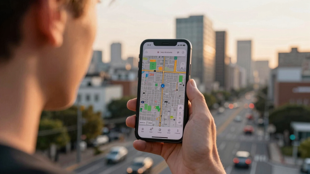

📊 Full opportunity report: The City That Watches Itself: The Living Digital Twin, and the God’s-Eye View We’re Building on ThorstenMeyerAI.com — validation score, market gap, and execution plan.
TL;DR
Cities are increasingly building dynamic digital twins that integrate real-time data and AI to monitor, simulate, and manage urban environments. This technology offers significant planning benefits but also raises surveillance and sovereignty issues.
Urban digital twins are evolving into live, AI-powered models that can monitor and simulate entire cities in real time, combining sensors, satellite data, and advanced AI. This development, exemplified by projects like Singapore’s Virtual Singapore, marks a significant shift in how cities are managed and observed, with both benefits and risks.
Recent advancements in sensor technology, satellite imagery, and frontier AI models have enabled the creation of living digital twins—dynamic, three-dimensional virtual replicas of urban environments that update second by second. These models integrate data from IoT sensors, Wide-Area Motion Imagery (WAMI), synthetic-aperture radar, and other sources to provide a comprehensive, real-time view of city life.
Projects like Singapore’s Virtual Singapore exemplify this trend, modeling every building, road, and utility with live overlays. Cities such as Helsinki and Las Vegas already operate functional city twins that have demonstrated cost savings and improved urban planning. The key innovation is the integration of AI capable of understanding heterogeneous data, recognizing patterns, and enabling natural language queries about the city’s status and history.
This convergence of technologies transforms the digital twin from a static map into a shared operational brain for urban governance, shifting decision-making from reactive to anticipatory. However, it also introduces a powerful surveillance instrument capable of tracking individual vehicles and pedestrians continuously, raising privacy and sovereignty concerns.
The city that watches itself: the living digital twin, and the god’s-eye view we’re building
Soon most cities will exist twice — once in concrete, once as a live data model you can rewind, simulate, and question in plain language. Persistent sensing + frontier AI turn the planner’s digital twin into an oracle. The most useful thing we’ve built — and the most powerful surveillance instrument. Both at once.
- Plan better — cities & rural: traffic, zoning, energy, land use
- Emergency response — route crews, one live picture, ~50% faster
- Disaster resilience — simulate, track live, assess damage in hours
- Mass surveillance — track everyone, retroactively, forever
- Pattern-of-life — AI links movements, infers associations
- Social control — no warrant, no suspicion (cf. Baltimore, 2021 ruling)
We’re building a city that watches itself, remembers everything, and can be asked anything. The technology won’t choose between saving lives and ending privacy — we will, through the rules we write now, while the twin is still under construction and the defaults haven’t yet hardened into permanence. WAMI and the living twin open our lives to a view from the heavens that, from the dawn of civilization until a heartbeat ago, was reserved for gods and stars. The question is no longer whether we can see everything — it’s who gets to look, and who watches the watchers.
Implications of Self-Monitoring Urban Environments
The development of comprehensive digital twins has profound implications for urban planning, resource management, and security. They promise more efficient infrastructure development, quicker response to emergencies, and better land use decisions. Yet, their surveillance capacity also raises concerns about privacy, civil liberties, and national sovereignty, especially as data becomes a strategic asset controlled by foreign or private entities.
As cities adopt these technologies, policymakers must balance innovation with safeguards to prevent misuse. The potential for these systems to be exploited for mass surveillance or to become tools of geopolitical leverage underscores the importance of establishing clear governance frameworks.

Geodesign, Urban Digital Twins, and Futures
As an affiliate, we earn on qualifying purchases.
As an affiliate, we earn on qualifying purchases.
From Static Maps to Dynamic City Models
The concept of digital twins in urban environments has been developing over the past decade, with initial projects like Singapore’s Virtual Singapore emerging after severe flooding in 2012. These models initially served as planning tools, helping urban designers simulate zoning changes, traffic flows, and infrastructure upgrades.
Recent breakthroughs in sensor networks, satellite imaging, and AI have transformed these models into real-time, interactive systems. WAMI sensors, capable of tracking every vehicle and pedestrian, combined with all-weather radar and AI comprehension, now enable cities to watch themselves continuously and respond proactively. This evolution marks a shift from static planning aids to living, breathing representations of urban life.
However, the full potential and risks of these systems are still being understood, especially regarding privacy and sovereignty issues.
“The convergence of sensors and AI is turning cities into self-monitoring entities, offering unprecedented insights but also raising serious surveillance concerns.”
— Thorsten Meyer, AI researcher

SMARTHON Smart City IoT Starter Kit for Micro:bit
- Complete IoT Learning Kit: Hands-on smart city projects with micro:bit
- Includes 11 Smart City Projects: Build real-world applications like traffic lights and weather stations
- Comprehensive Accessories: Sensors, modules, building models, and city map included
As an affiliate, we earn on qualifying purchases.
As an affiliate, we earn on qualifying purchases.
Unresolved Questions About Surveillance and Sovereignty
It remains unclear how widespread adoption will be globally, and what legal frameworks will govern the use of such surveillance-capable systems. The extent to which data will be protected or exploited, especially by foreign actors, is still uncertain. Additionally, the privacy implications for individual citizens are actively debated, with no consensus yet reached.

Spatial Big Data, BIM and advanced GIS for Smart Transformation: City, Infrastructure and Construction
As an affiliate, we earn on qualifying purchases.
As an affiliate, we earn on qualifying purchases.
Next Steps in Urban Digital Twin Development and Regulation
Expect ongoing deployment of city digital twins across more urban areas, alongside discussions about legal and ethical guidelines. Policymakers and technologists will need to collaborate on establishing standards for privacy, data sovereignty, and transparency. Further technological advancements will likely improve AI comprehension and sensor integration, but the debate over surveillance and control will intensify.

Satellite Remote Sensing for Archaeology
As an affiliate, we earn on qualifying purchases.
As an affiliate, we earn on qualifying purchases.
Key Questions
How do digital twins improve city management?
They enable real-time monitoring, simulation of scenarios, and predictive planning, leading to more efficient and proactive urban governance.
What are the privacy risks associated with digital twins?
They can track individual movements and behaviors continuously, raising concerns about mass surveillance and data misuse.
Are these systems vulnerable to hacking or misuse?
Yes, as with any connected system, there are risks of cyberattacks or unauthorized control, especially if data sovereignty is not maintained.
Will cities have control over their digital twins?
This depends on governance frameworks; currently, some systems are controlled by private or foreign entities, raising sovereignty issues.
What is the future of AI in urban management?
AI will likely become more capable of understanding complex city dynamics and supporting decision-making, but ethical and legal considerations will shape its deployment.
Source: ThorstenMeyerAI.com